Easy Access Guide – routes around the estuary
A downloadable PDF version of the guide can be accessed here.
Route length
3.4 miles / 5.4km (approx.)
Grading of route / Accessible wheelchair and mobility scooter suitability
The whole of this route, using pavements and pedestrian routes, is accessible for wheelchairs, small mobility scooters (4mph), power chairs and larger mobility scooters (8mph). It is also suitable for families and pushchairs.
Users can choose to do the whole route or part of the route.
Site description
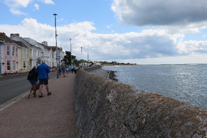
This circular route takes you through the Maer to Exmouth Town Centre, through Exmouth Marina and along the seafront. There are stunning views up the Exe Estuary towards Exeter and along the coast across Dawlish Warren and towards Budleigh Salterton and High Peak. It also crosses the main town square in Exmouth.
The Exe Estuary is an internationally important site for wildlife. Please take care not to disturb the birds and other wildlife as this can impact on their health and survival. Keep to the trails and please keep dogs on a lead. Find out more at https://www.exe-estuary.org/.
Route description
This route is a loop which starts by the RNLI Lifeboat Station on Exmouth seafront and initially takes an inland route past the Maer into Exmouth Town Centre and then to the Station. From the Station it takes you along roads to Exmouth Marina and the seafront. The route passes through the marina close to the estuary edge and then joins Exmouth seafront. The return journey is along Exmouth seafront esplanade to the RNLI Centre.
All of the route is on hard surfaces. There are some areas on road or narrow pavements. This route, particularly the seafront, can be busy especially during the summer.
Toilets
There are toilets, including wheelchair accessible toilets at Foxholes Car Park (radar key required), along the Esplanade near the Ocean Centre, in Manor Gardens and at Exmouth Train Station (radar key required).
Parking
Parking is available at Foxholes Car Park, Queens Drive and on Queens Drive itself (EX8 2AY). There is blue badge on street parking (currently free) along Marine drive past the RNLI building.
There are multiple car parks in Exmouth Town including Exmouth Train Station /Long Stay Car Park on The Royal Avenue in Exmouth (EX8 1EN).
Refreshments
There are numerous food shops, cafés and restaurants in Exmouth.
Public transport
Rail links to Exmouth Station: nationalrail.co.uk/stations/EXM/details.html
There are buses* from Exeter and Budleigh Salterton (Route 57 & 58)
Find travel information at traveldevon.info
*Larger mobility scooters may have difficulty with space on buses.
Scooter and other facilities
Countryside Mobility South West have helped set up a number of locations (60+) where you can hire a ‘Tramper’ (all terrain class 3 mobility scooter), including at the near by Powderham Castle for example: countrysidemobility.org/locations/powderham-castle
Exeter Community Transport Association also have a Tramper for hire and will also hire scooters depending on the area it is to be used in: exetercta.co.uk
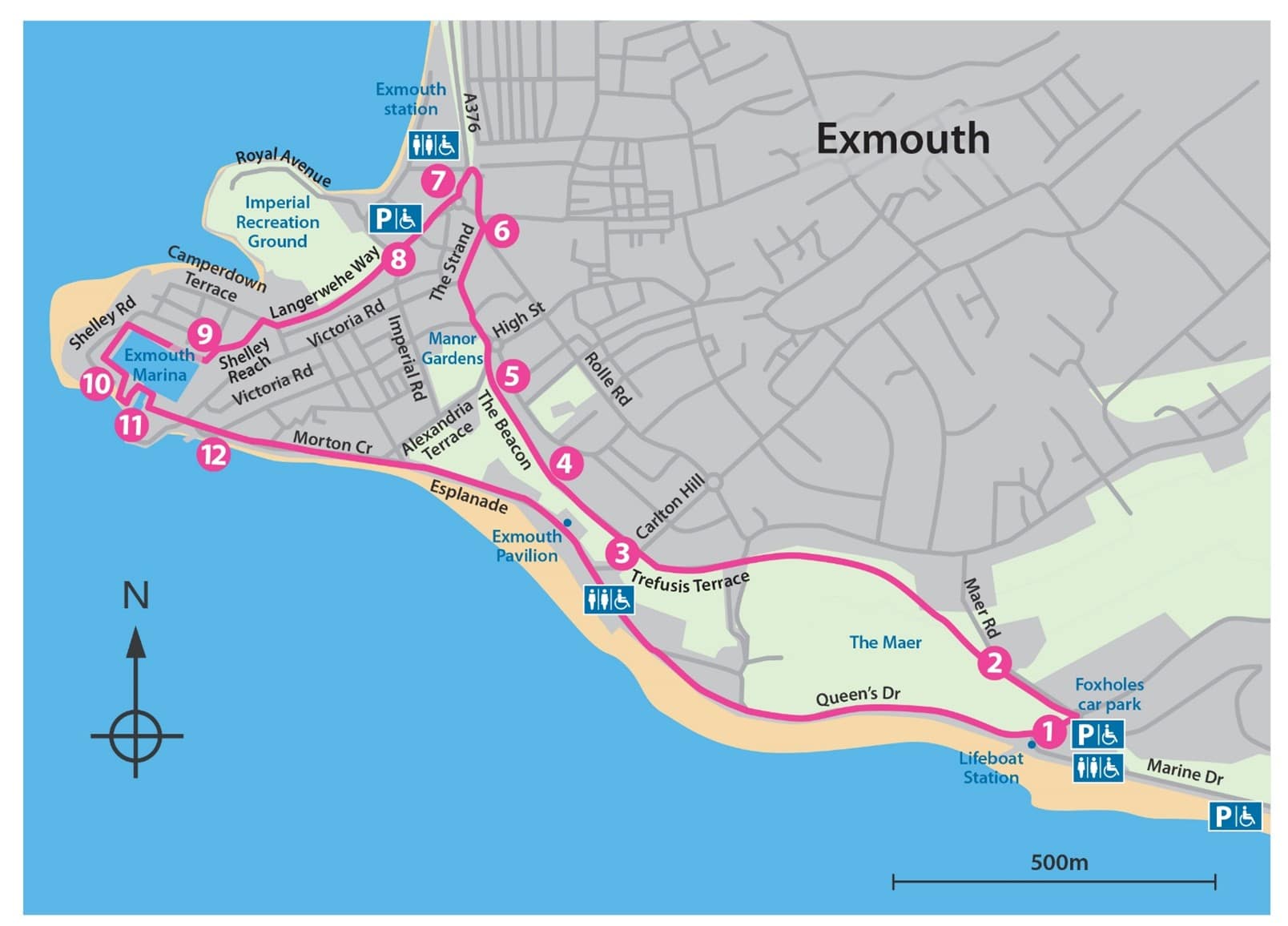
Route Map
Route description
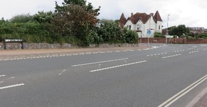
- Starting with the sea behind you, exit the car park and turn right onto Queens Drive, cross the road before the roundabout and take Maer Road to the left.
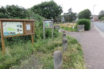
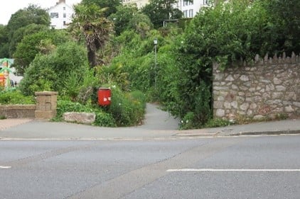
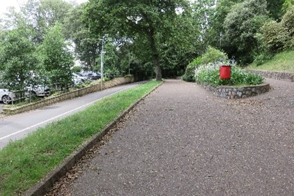
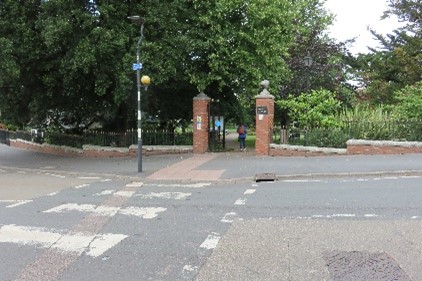
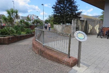
- At the park gates take the pedestrian route into the park. There is a lovely flat grassy area to the left where you can picnic, when the ground is dry class 1 scooters should have no problem crossing the grass to the picnic tables but this would be problematic in the winter or when the ground is very wet. Stay on this pedestrian path, past the tennis courts, then cricket ground and bowling green on your left. Keep to the lower path at each junction. At the dinosaur mural at the back of the Ocean building you can access toilets (including a wheelchair accessible toilet) to the left. Our path continues straight past the mural and on to Charlton Hill.
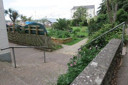
- Cross the road at Carlton Hill and remain on the traffic free path. Just past Exmouth Pavilion there is ramped access to a sensory garden.
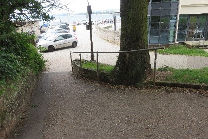
- At the back of the Premier Inn you can remain on the middle path or drop down to a shared cycle/pedestrian route to the left. These paths run parallel and will both take you to Manor Park Gardens. For wheelchair users if you continue on the upper path you need to overshoot the gardens to cross the road on a dropped curb which means a short section to double back (10-15m), but this avoids the steep section down to the lower path at this point.
- At Beacon Hill cross into Manor Gardens taking the path immediately to the right around the edge of the gardens. Exit at the next point on the right (past the toilet block, which includes a good accessible toilet) turning left onto the Strand. Cross at the zebra crossing and head towards the square crossing by the War Memorial and heading towards Imperial Road and Exmouth Station.
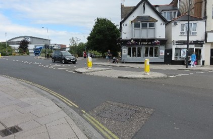
- Cross Imperial Road as you exit the town square, opposite The Strand pub, and take the underpass beneath the A376, or continue to the right of the underpass entrance to the zebra crossing opposite Exmouth Station (sign posted to the Exe Estuary Trail and Exmouth Station).
- If toilets are required at this point you can detour towards the station building, then retrace your steps to the subway entrance. If not exit the subway/crossing and turn left along Imperial Road past the Leisure Centre and then the car park, keeping both on your right.
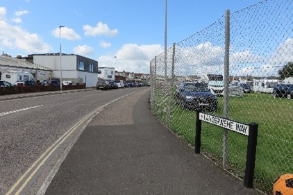
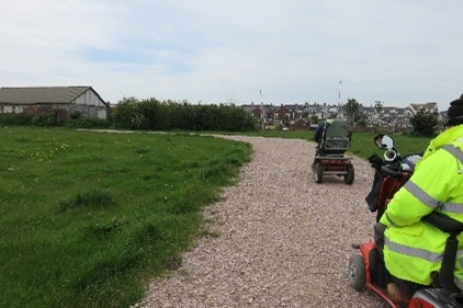
- At the roundabout cross The Royal Avenue and follow Langerwehe Way keeping the rugby ground on your right.At the roundabout there is an alternative route through the Imperial Road Recreation Ground. This is more scenic, however this does require a short section over grass and a rough gravel track so is only suitable for scooters and trampers rather than motorised wheel chairs.To follow this route, cross The Royal Avenue and turn right to follow this road through the recreation ground. At the end of The Royal Avenue you will need to cross the grass to a gravel track which brings you out at the Rugby Club carparks. From there you can re-join Langerwehe Way.
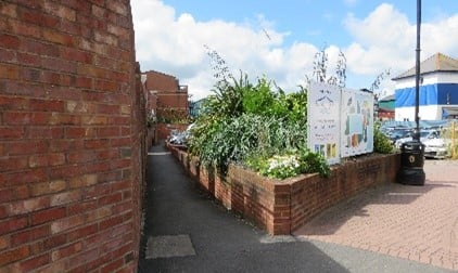
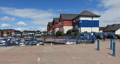
- At the end of Langerwehe Way continue straight onto Shelly Reach. Cross the turning to Harbour Court and shortly after take a small path to the left, just before a small car park, and head towards the marina.At the end of this small path take the wide path to right, around the edge of the marina (keeping the marina basin on your left).Turn left at the first corner, continuing alongside the marina basin. At the second corner continue straight between the houses and away from the marina basin.
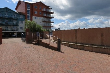
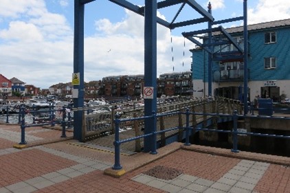
- You emerge on Shelly Road. Turn to the left and diagonally opposite you will see a ramped access point onto the estuary-side path. Turn to the left on the estuary path and continue around to the left passing the Exe Sailing club lookout point and continuing alongside the water access to the marina basin.Turning the corner you will see the bridge across the marina access.
- Cross this small wooden foot bridge and turn to the right. Then join the marina access road Pier Head to the left and follow this to the seafront.
- Back at the entrance to the marina continue straight past the Rockfish restaurant onto Mamhead View and then the Esplanade. Follow the seafront all the way back to the Lifeboat Station and your starting point at Foxholes Car Park.Halfway along the Esplanade are accessible toilets (next to the Ocean centre).
